Baranja
Baranja (Hungary Baranya, which means a wine mother) is the geographical unit of the eastern Croatian plain.
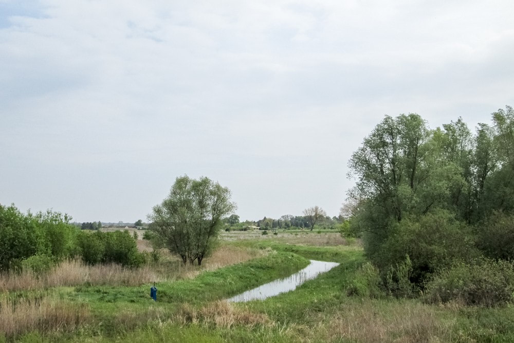
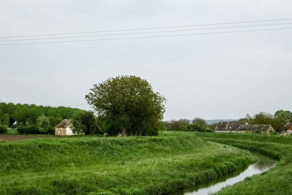
The rivers Danube and Drava are between Bačka and Slavonia, and the state border towards Hungary is withdrawn through the flatland without relief or hydrographic obstacles. This area is part of the wider, historic Baranja County. The oldest settlements are mentioned already in XII. Century (Branjin Vrh). The rest were founded during the XIII. And XIV. century. Until the division of Baranja County occurred in the Triennial Peace of 1920. The smaller, then Yugoslav, and now the Croatian part of Baranja covers 1147 square kilometers, while the Hungarian part covers 4541 square kilometers.
The main connection to Baranja with other areas of Croatia is the railway and roadway Beli Manastir-Osijek. The construction of the road bridge at Batina village on Danube river (1974) contributed to a better connection with the neighboring Bačka, and the construction of the road bridge at Beliće at river Drava for a better connection with Slavonia. The connection with Hungary is realized through the border crossing Duboševica-Udvar (formerly Kneževo-Udvar) by the road Beli Manastir-Mohač or via the border crossing Baranjsko Petrovo Selo-Beremend or the railway line Beli Manastir- Mađarboja (Magyarbóly). The administrative Baranja now belongs to Osijek-Baranja County, while during Yugoslavia it belonged to a region known as Slavonia and Baranja, Municipality of Osijek.
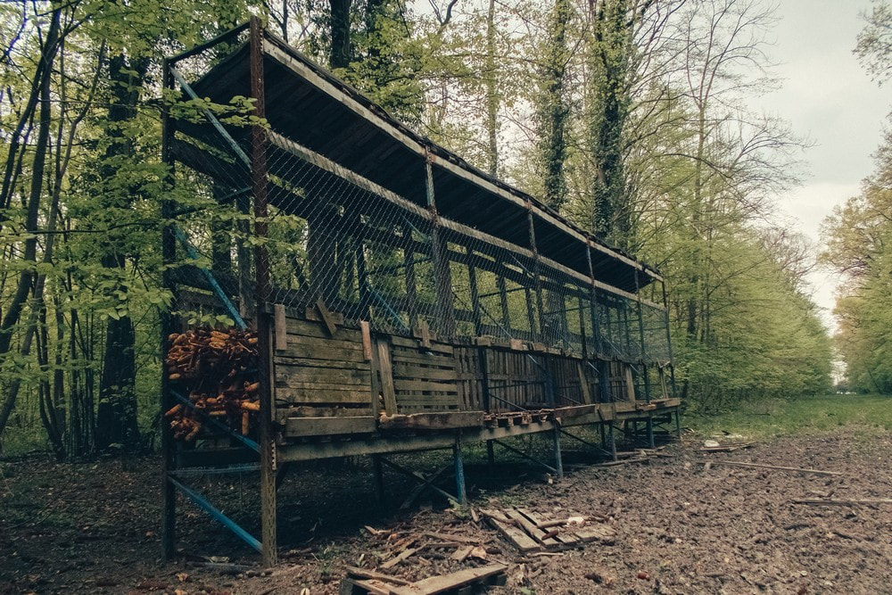
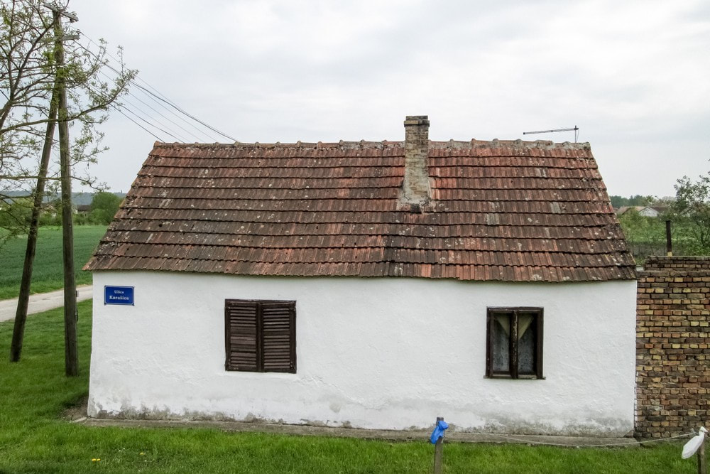
Today, Baranja is in a very poor economic state. Young people go to other western countries in search of better living conditions.
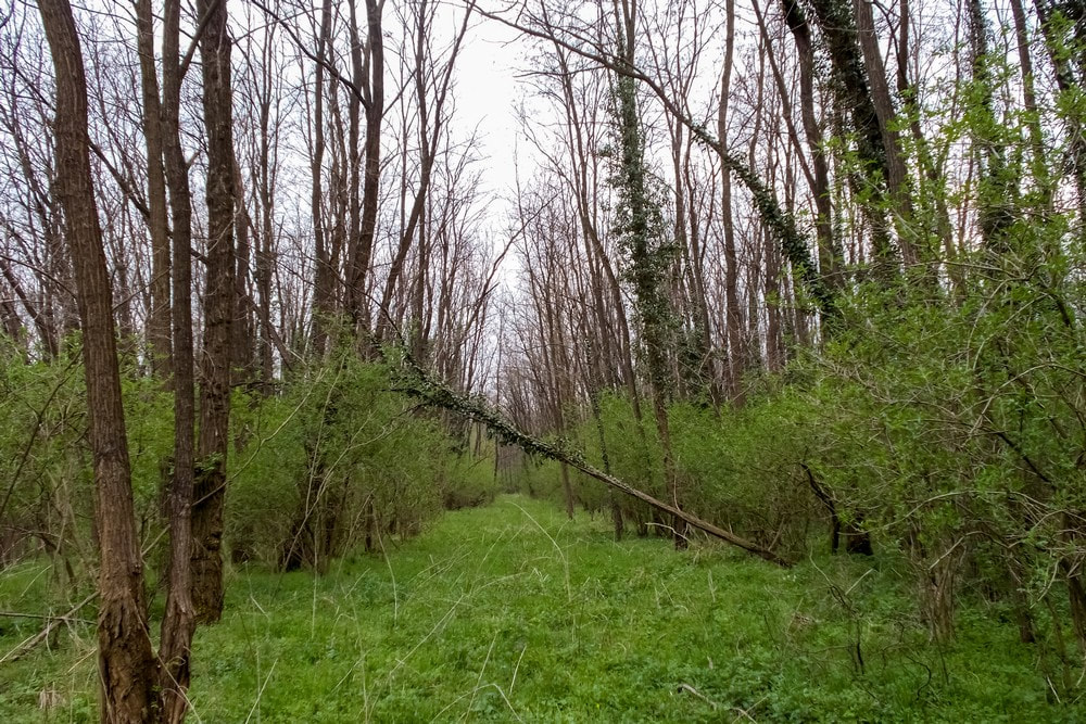
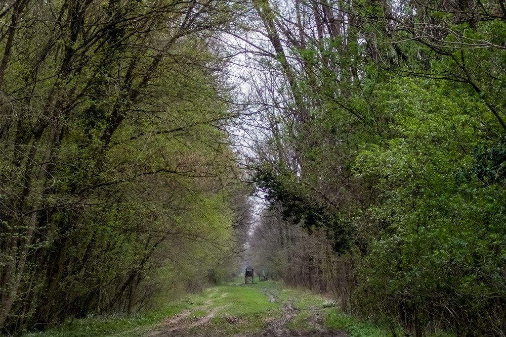
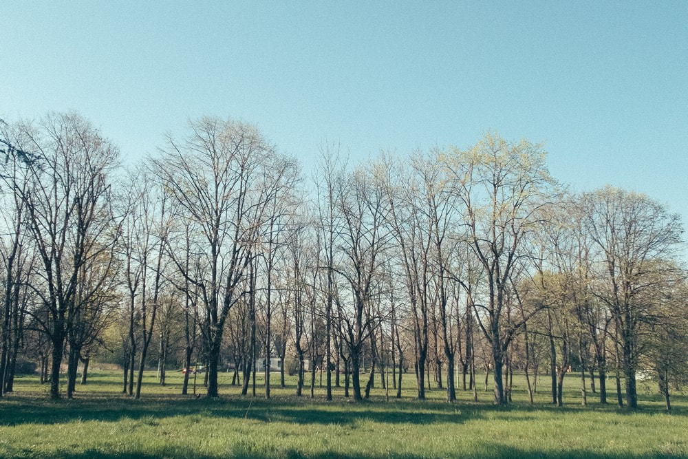
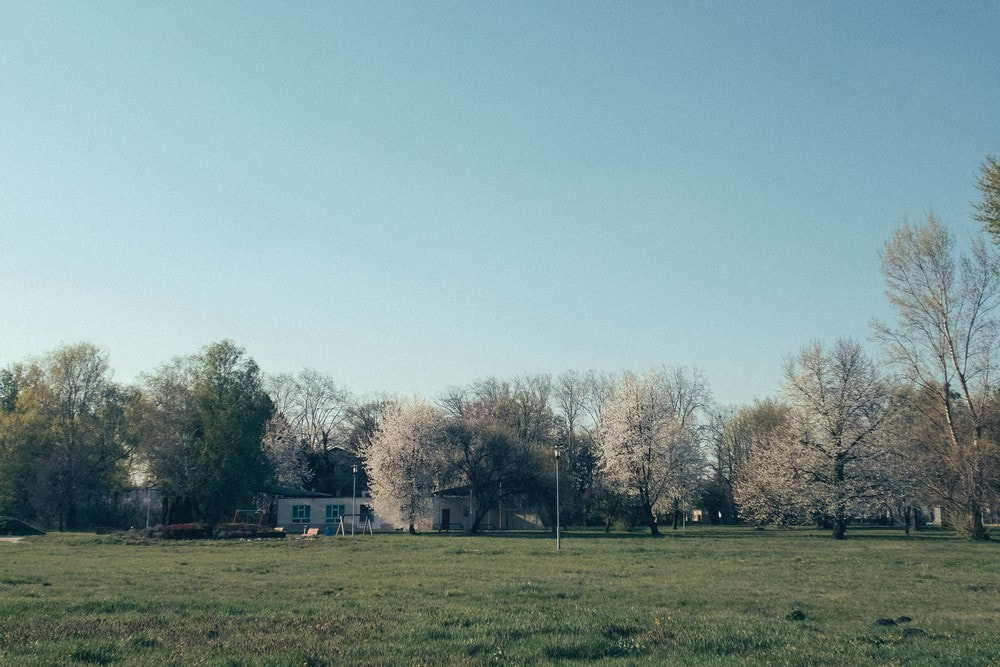
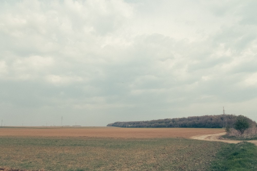
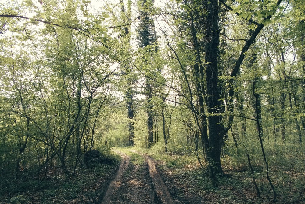
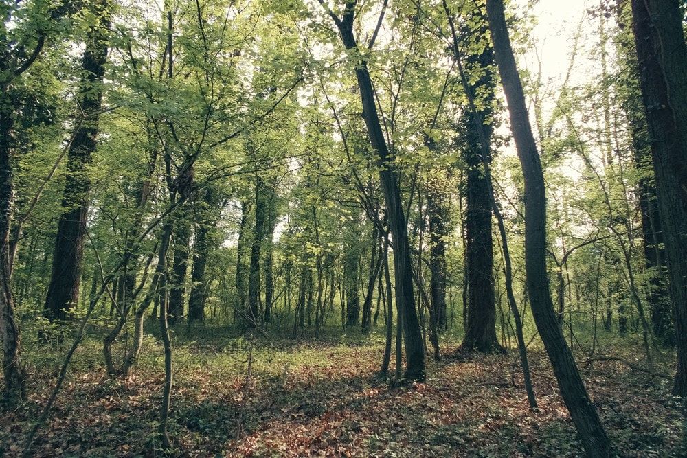
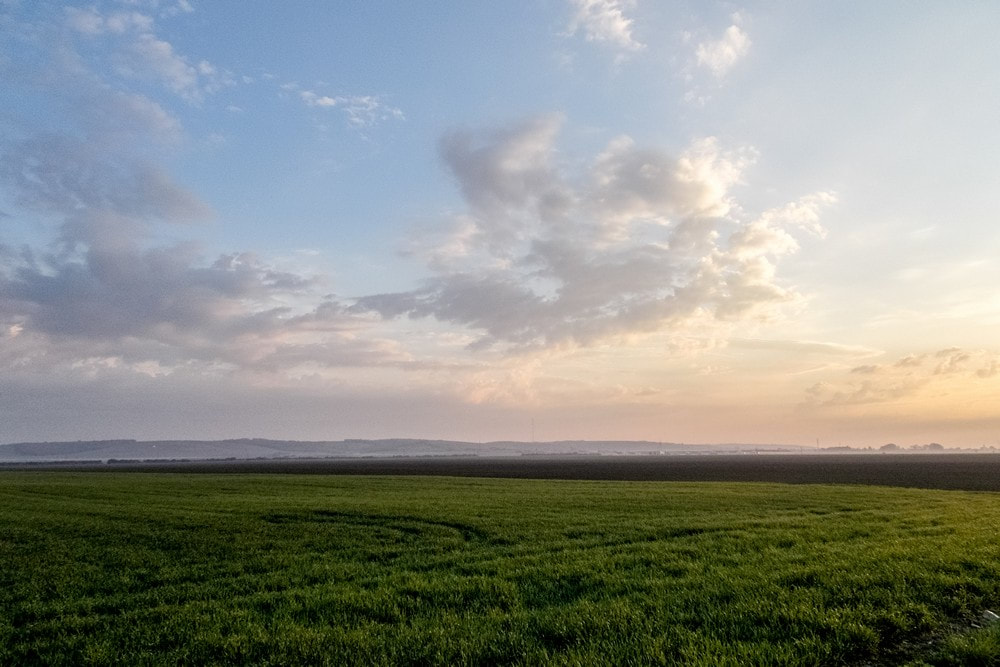
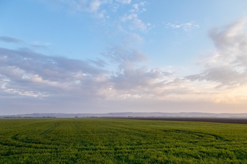
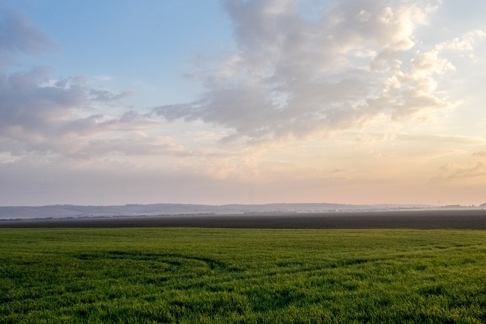
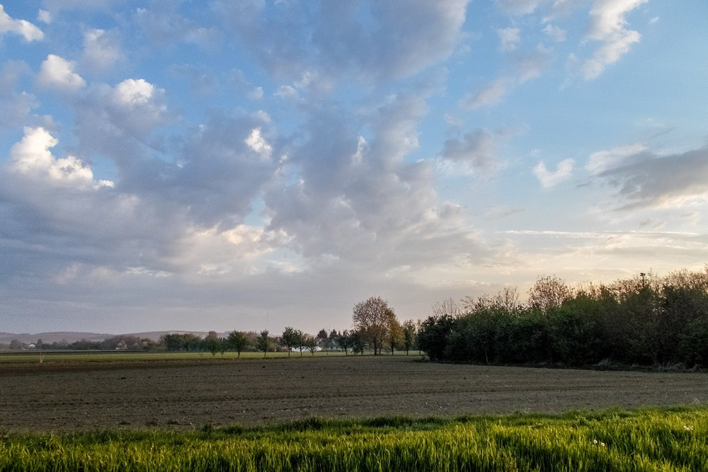
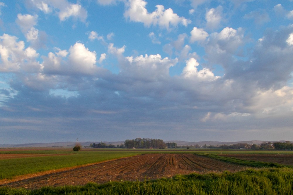
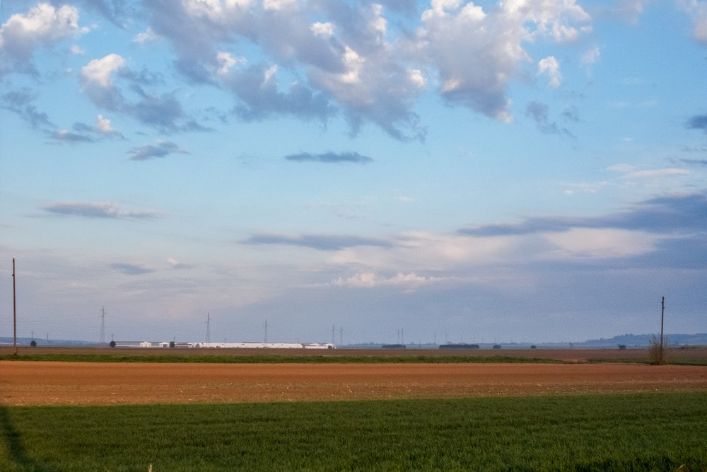
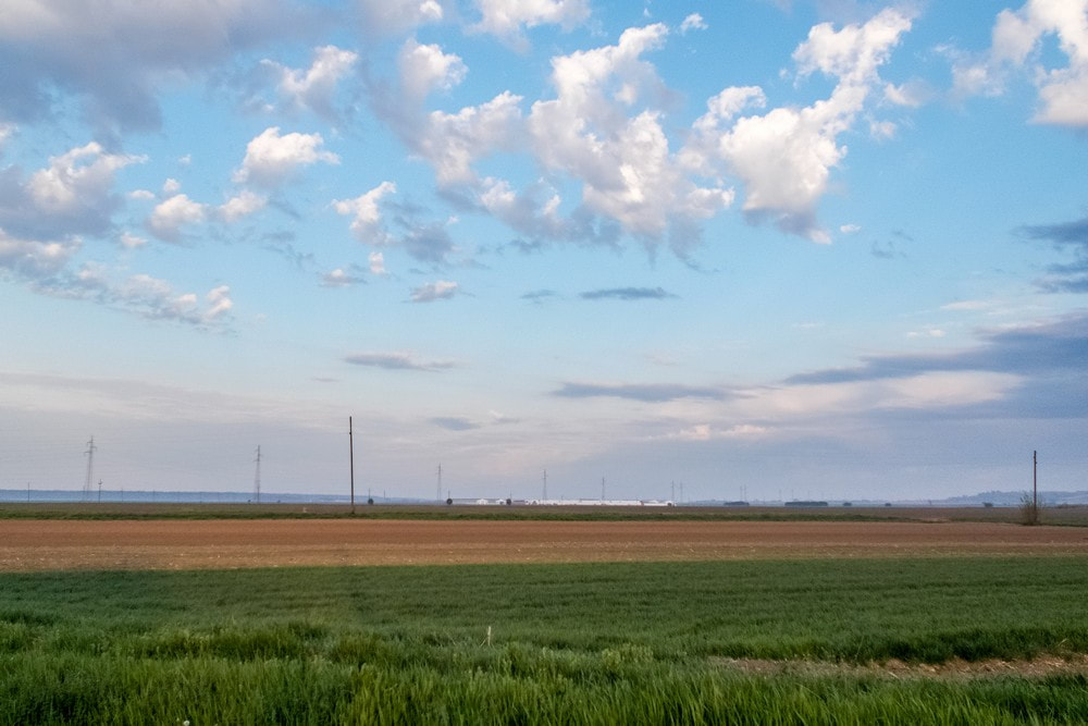
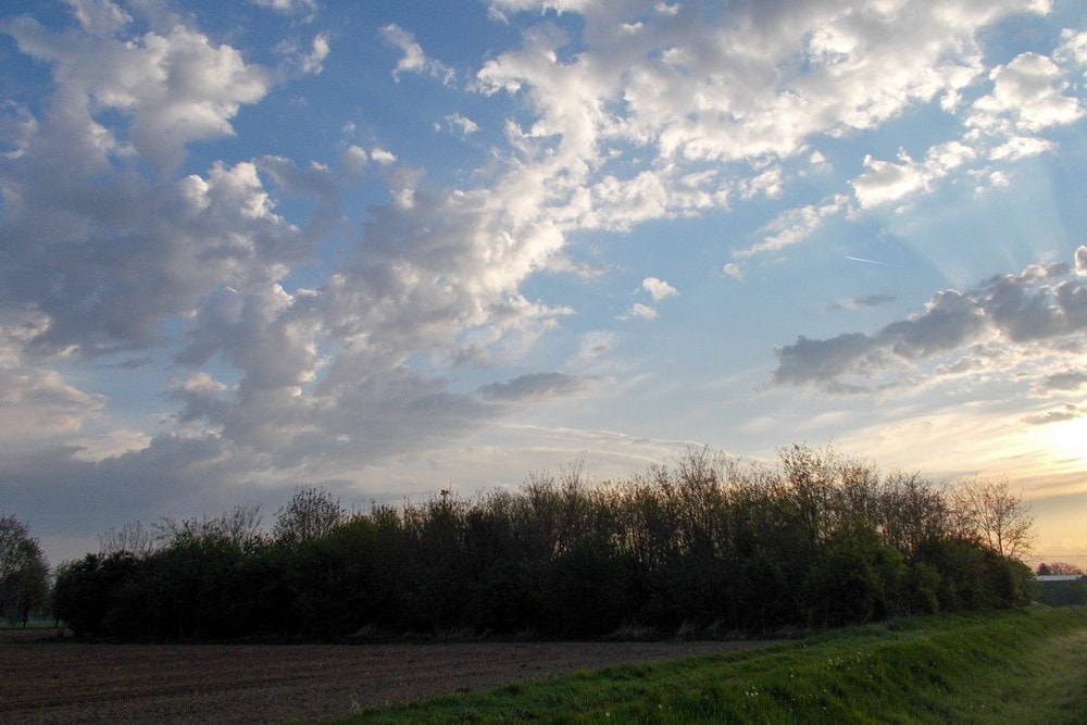
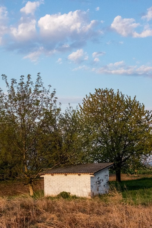
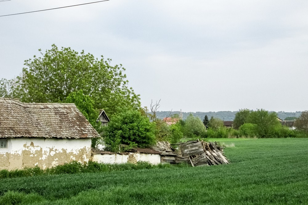
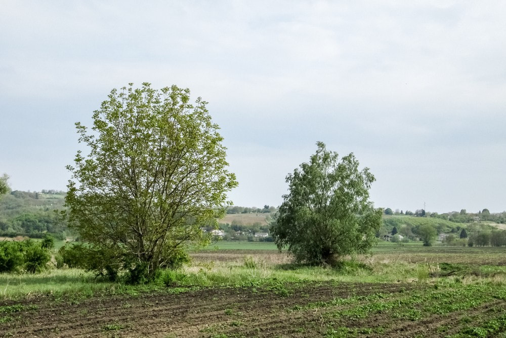
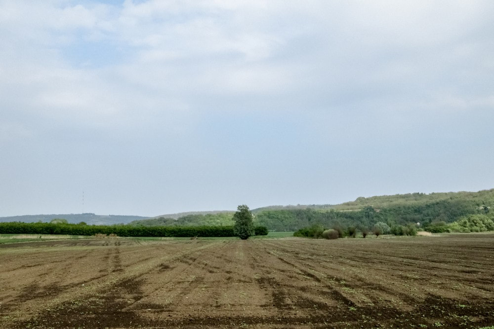
With this project I wanted to present the current situation in Baranja County. Life that is difficult, infrastructure that is perishing day by day. Companies are closed and the policy that is bad is in the foreground.
Baranja (Hungary Baranya, which means a wine mother) is the geographical unit of the eastern Croatian plain.
The rivers Danube and Drava are between Bačka and Slavonia, and the state border towards Hungary is withdrawn through the flatland without relief or hydrographic obstacles. This area is part of the wider, historic Baranja County. The oldest settlements are mentioned already in XII. Century (Branjin Vrh). The rest were founded during the XIII. And XIV. century. Until the division of Baranja County occurred in the Triennial Peace of 1920. The smaller, then Yugoslav, and now the Croatian part of Baranja covers 1147 square kilometers, while the Hungarian part covers 4541 square kilometers.
The main connection to Baranja with other areas of Croatia is the railway and roadway Beli Manastir-Osijek. The construction of the road bridge at Batina village on Danube river (1974) contributed to a better connection with the neighboring Bačka, and the construction of the road bridge at Beliće at river Drava for a better connection with Slavonia. The connection with Hungary is realized through the border crossing Duboševica-Udvar (formerly Kneževo-Udvar) by the road Beli Manastir-Mohač or via the border crossing Baranjsko Petrovo Selo-Beremend or the railway line Beli Manastir- Mađarboja (Magyarbóly). The administrative Baranja now belongs to Osijek-Baranja County, while during Yugoslavia it belonged to a region known as Slavonia and Baranja, Municipality of Osijek.
Today, Baranja is in a very poor economic state. Young people go to other western countries in search of better living conditions.
With this project I wanted to present the current situation in Baranja County. Life that is difficult, infrastructure that is perishing day by day. Companies are closed and the policy that is bad is in the foreground.